Training on Remote Sensing for Disaster Management
Course Overview
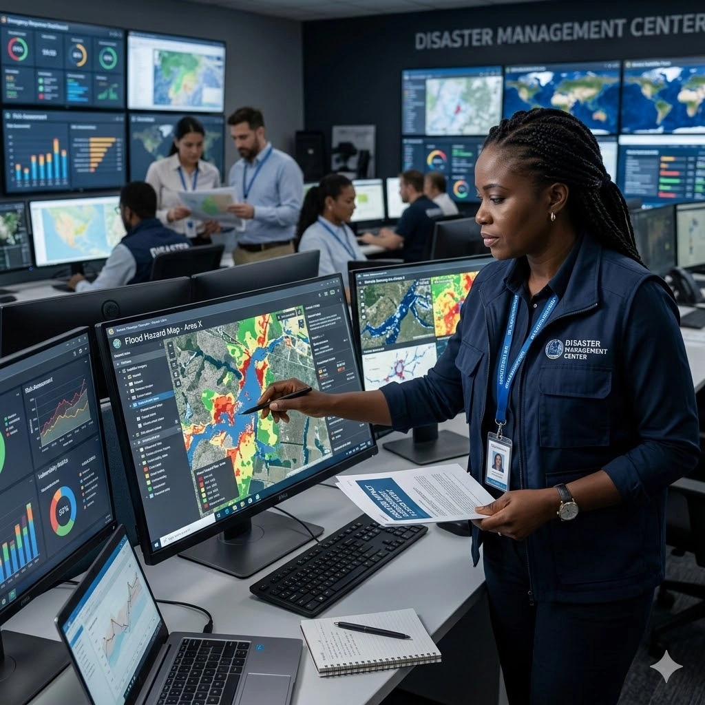
Remote Sensing for Disaster Management equips professionals with practical skills to apply geospatial technologies in disaster preparedness, response, and recovery. Participants will learn to analyze satellite imagery, aerial data, and other remote sensing sources to monitor disaster events, assess damages, and support decision-making. The course emphasizes real-world applications for natural hazards, including floods, earthquakes, landslides, and extreme weather events, as well as man-made disasters.
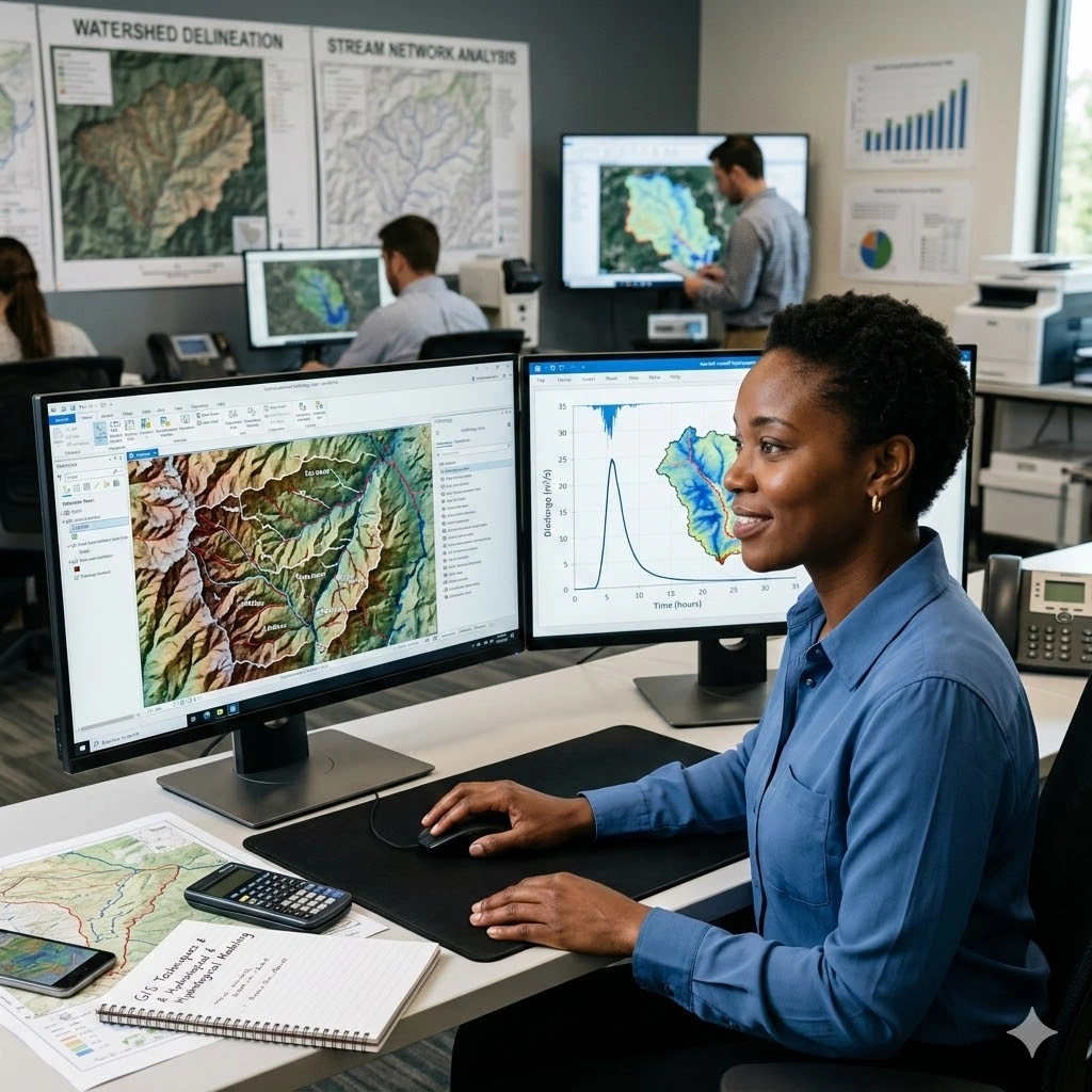
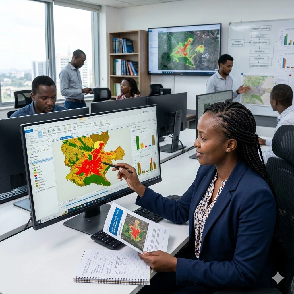
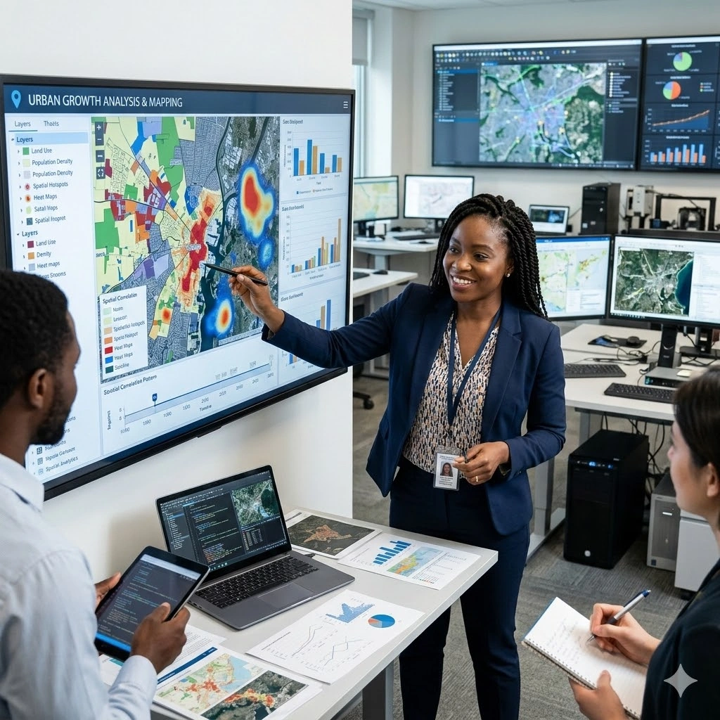
The training covers data acquisition, image processing, change detection, and spatial analysis techniques tailored to disaster management. Participants will gain hands-on experience in interpreting remote sensing datasets, creating hazard and risk maps, and integrating GIS tools to develop actionable disaster response strategies. Emphasis is placed on enhancing situational awareness, improving early warning systems, and supporting resource allocation during emergencies.
Through case studies, simulations, and practical exercises, attendees will learn to design remote sensing-based disaster management workflows. By the end of the 10-day program, participants will be able to leverage remote sensing for damage assessment, disaster monitoring, risk reduction planning, and informed decision-making that improves resilience and response effectiveness.
Duration
10 Days
Who Should Attend
-
Disaster management professionals
-
Environmental scientists and engineers
-
Urban planners and development experts
-
Geospatial analysts and GIS specialists
-
Emergency response teams
-
Government officials and policymakers
-
Researchers and academics in disaster management
-
NGO and humanitarian organization staff
-
Students and professionals seeking remote sensing expertise in disaster management
Course Impact
Organisational Impact
-
Strengthens institutional capacity to prepare for, respond to, and recover from disasters using geospatial intelligence.
-
Enhances decision-making by providing timely and accurate remote sensing data during emergencies.
-
Reduces vulnerability and improves resilience through risk assessment and hazard mapping.
-
Supports evidence-based disaster management policies and resource allocation.
-
Builds organisational readiness by integrating advanced technology into disaster response frameworks.
Personal Impact
-
Equips participants with specialized skills in applying remote sensing to disaster risk management.
-
Expands career opportunities in emergency management, humanitarian response, and geospatial analysis.
-
Builds confidence in analyzing satellite and aerial imagery for disaster preparedness and mitigation.
-
Enhances practical expertise in rapid damage assessment, hazard monitoring, and recovery planning.
-
Empowers participants to contribute effectively to disaster risk reduction and humanitarian operations.
Course Objectives
By the end of this course, participants will be able to:
- Understand the principles of remote sensing and its relevance to disaster management.
- Identify and select appropriate remote sensing data and tools for various types of disasters.
- Analyze and interpret remote sensing data to assess disaster risk and impact.
- Apply remote sensing techniques for disaster preparedness, monitoring, and early warning systems.
- Develop disaster response strategies using remote sensing and geospatial data.
- Utilize remote sensing for post-disaster damage assessment and recovery planning.
- Integrate remote sensing data with other geospatial information systems for comprehensive disaster management.
- Evaluate the effectiveness of remote sensing in disaster risk reduction.
- Enhance decision-making processes in disaster management through the use of remote sensing.
- Understand the ethical and practical challenges in the application of remote sensing for disaster management.
Course Outline
Module 1: Introduction to Remote Sensing and Disaster Management
- Overview of remote sensing technologies
- Role of remote sensing in disaster management
- Types of disasters and remote sensing applications
Module 2: Remote Sensing Data Acquisition and Processing
- Satellite and aerial data sources
- Image processing techniques
- Data quality and resolution considerations
Module 3: Disaster Risk Assessment Using Remote Sensing
- Hazard mapping and vulnerability analysis
- Identifying risk zones
- Integrating remote sensing with GIS for risk assessment
Module 4: Remote Sensing for Early Warning Systems
- Monitoring natural hazards (floods, earthquakes, landslides)
- Developing early warning systems using remote sensing data
- Case studies on early warning systems
Module 5: Remote Sensing Applications in Disaster Response
- Real-time data acquisition and analysis
- Coordination of response efforts using remote sensing
- Case studies on disaster response
Module 6: Post-Disaster Damage Assessment
- Techniques for assessing damage using remote sensing
- Quantifying losses and impacts
- Planning recovery and reconstruction efforts
Module 7: Remote Sensing for Disaster Recovery and Reconstruction
- Monitoring recovery progress
- Assessing the effectiveness of reconstruction efforts
- Case studies on disaster recovery
Module 8: Integration of Remote Sensing with Other Data Sources
- Combining remote sensing with ground-based observations
- Use of drones and UAVs in disaster management
- Multi-sensor data integration techniques
Module 9: Challenges and Limitations of Remote Sensing in Disaster Management
- Ethical considerations in data use
- Technical challenges and data limitations
- Addressing gaps in data availability and accuracy
Module 10: Future Trends in Remote Sensing for Disaster Management
- Advances in remote sensing technologies
- Emerging applications and innovations
- The role of AI and machine learning in remote sensing for disaster management
Prerequisites
Course Administration and Investment
Whether you join us in a physical boardroom or through our virtual campus, we’ve designed every administrative detail for a seamless, professional experience.
Our fees are all inclusive during course hours.
- Covered: High level tuition, comprehensive materials (digital + physical), mid morning and afternoon refreshments, a full executive lunch, and any scheduled study visits or site tours.
- Not covered: Travel, visa fees, medical/travel insurance, personal expenses, and accommodation.
From registration to the classroom, we keep things clear and efficient.
- Registration: Find your preferred schedule, click “Register,” complete the form, and submit. Need help? Talk to us directly.
- Pre Course Assessment: After registering, you’ll receive a diagnostic survey to help facilitators tailor content to your needs.
- Joining Instructions: Once fees are paid, you’ll receive a Delegate Welcome Pack at least 7 days before the start date (venue maps, virtual access links, and pre reading materials).
We provide premium environments optimized for adult learning and networking.
- Physical Venues: Premium 4 star and 5 star executive boardrooms across our global host cities, with high tier catering.
- Virtual Instructor Led Training (VILT): High definition, interactive platforms featuring breakout rooms, digital whiteboards, and live technical support.
- NITA and Regulatory Compliance: Administrative processes align with national training authorities.
You’ll leave with tools that extend the course value far beyond the final day.
- ForElite Learner Kit: A physical or digital course manual, proprietary templates, and a curated toolkit of industry standard SOPs.
- On Site / In App Support: Dedicated course coordinators handle technical, dietary, or logistical inquiries in real time.
We validate your commitment to excellence with internationally recognized credentials.
- Attendance Tracking: Rigorous daily logging to meet corporate and regulatory accreditation requirements.
- Verifiable Credentials: Upon successful completion, you receive a certificate of course completion.
Our relationship with you doesn’t end when the course closes.
- Feedback & ROI Reporting: Detailed post course evaluations to give sponsors clear insight into training impact.
- Alumni Network Access: Every delegate joins the ForElite Alumni Network for ongoing peer to peer learning and exclusive webinars.
When is the next intake?
UpdatedWe offer customized training solutions tailored to your organization's specific needs (location, dates, content and team size).
Talk to us and we’ll guide you on the best schedule and format for your team.
Training Methodology
We turn knowledge into results. Using our P.E.A.K. Framework (Prepare, Engage, Apply, Know), every participant leaves with practical skills they can use immediately.
Proven Impact
In the last 12 months, over 1,200 professionals have applied the P.E.A.K. Framework to reduce onboarding time by an average of 30% and accelerate project delivery across 14 industries.
The outcome: Participants don’t just learn. They gain the tools, confidence, and strategy to drive measurable impact.
Tailor-Made Training and Customization
Off-the-shelf solutions rarely fit perfectly. At ForElite Training Institute, we built our Tailor-Made Training (TMT) service to embed our expertise directly into your unique strategy, culture, and operations.
We replace generic examples with scenarios from your sector (e.g., public sector, NGOs, financial services, or logistics).
Choose a format that fits your operations: intensive 3 day bootcamps or weekly sessions that minimize work disruption.
We teach directly from your actual templates, brand guidelines, or financial reports.
Host your bespoke training in any of our 21+ global cities, or we'll send facilitators to your office anywhere in the world.
Course Reviews
Share your experience to help others choose the right course.
Leave a Review
Your review will be published after verification.
Most Recent Reviews
Showing the most recent reviews.
Training on Remote Sensing for Disaster Management FAQs
Quick answers to common questions about this course
You May Also Be Interested In
Explore more courses in this category
 Intermediate
 Advanced
 Intermediate
 Intermediate
Advanced
Intermediate
Intermediate
Intermediate
Intermediate
Advanced
Intermediate
Intermediate

SECURE YOUR COMPETITIVE ADVANTAGE TODAY.
Subscribe to the Premier Intel newsletter for weekly market insights and training updates.
About Us


ForElite Training Institute is a global institutional capacity-building and EdTech partner that empowers organizations and professionals with transformative, high-impact learning.